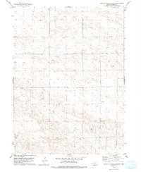
1979 Map of North Of Oliver Reservoir
USGS Topo · Published 1993About this map
The High Plains of Kimball County, Nebraska, are defined here by a pattern of energy extraction and remote ranching infrastructure in the late 1970s. This survey records a landscape transition from traditional agriculture toward intensive subterranean development, evidenced by numerous Oil Well and Oil Wells sites dotting the terrain. The presence of a major Pipeline cutting through the southern half of the quadrangle highlights the area's role as a transit corridor for regional resources. The local ranching heritage is anchored by Tomich in the southwest, while a solitary Radio Tower stands as a prominent navigational landmark amidst the undulating contours. These features together illustrate the economic character of a region where oil production and rural land use intersect in the Nebraska Panhandle.
Find a feature on this map
6 named features on this map. Tap any name to fly to it.
Don’t see what you’re looking for? This feature index may not catch every label — zoom into the map to look around manually.
Map Details
Editions of this 1979 North Of Oliver Reservoir Map
2 editions found
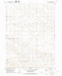
Other maps of this area

1954 · Scottsbluff
USGS Topo · 1:250,000

1958 · Scottsbluff
USGS Topo · 1:250,000

1972 · Bushnell
USGS Topo · 1:24,000

1972 · Kimball
USGS Topo · 1:24,000

1972 · Oliver Reservoir
USGS Topo · 1:24,000

1973 · Kimball 2 NE
USGS Topo · 1:24,000

1973 · Kimball 2 SE
USGS Topo · 1:24,000
1973 · Kimball 2 SW
USGS Topo · 1:24,000
1973 · Kimball 2 NW
USGS Topo · 1:24,000

1973 · Kimball 1 NW
USGS Topo · 1:24,000