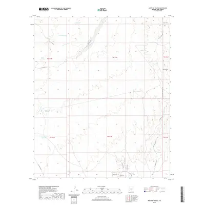
2018 Map of North of Oracle
USGS Topo · Published 2018About this map
Arizona National Scenic Trail winds through the high desert landscape of Pinal County, following the eastern edge of the Black Hills. This region is defined by an intricate network of ephemeral drainages, including the evocatively named Bloodsucker Wash, Horse Foot Wash, and Javelina Wash, which dictate the placement of local infrastructure. To the south, residential development begins to appear along W Oracle Ranch Rd and N Rockcliffe Blvd, contrasting with the more traditional ranching landscape to the north. Water management in this arid environment is evident through a series of namesake stock tanks, such as Snyder Tank, Hidden Tank, and Corner Tank. The presence of Willow Springs and roads like Goodman Ranch Rd highlight the area's long-standing reliance on scattered water sources and ranching access routes.
Find a feature on this map
34 named features on this map. Tap any name to fly to it.
Don’t see what you’re looking for? This feature index may not catch every label — zoom into the map to look around manually.
Map Details
Editions of this 2018 North of Oracle Map
This is the sole edition of this map. No revisions or reprints were ever made.
Other maps of this area
1911 · Winkelman
USGS Topo · 1:125,000
1913 · Winkelman
USGS Topo · 1:125,000
1948 · Mammoth
USGS Topo · 1:62,500
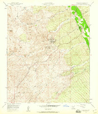
1948 · Mammoth
USGS Topo · 1:24,000
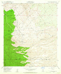
1948 · Campo Bonito
USGS Topo · 1:24,000
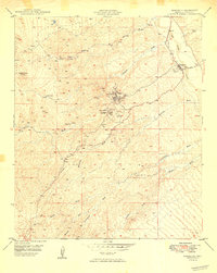
1949 · Mammoth
USGS Topo · 1:24,000
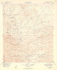
1949 · Campo Bonito
USGS Topo · 1:24,000
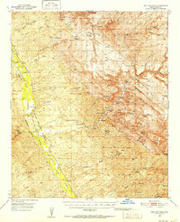
1949 · Holy Joe Peak
USGS Topo · 1:62,500
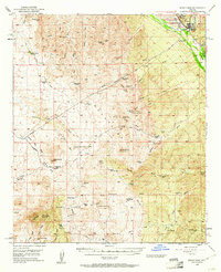
1949 · Winkelman
USGS Topo · 1:62,500
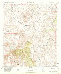
1949 · Black Mountain
USGS Topo · 1:24,000