
1948 Map of Mammoth
USGS Topo · Published 1960About this map
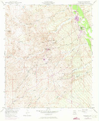
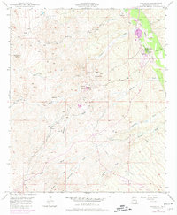
Mining operations dominate the landscape between the San Pedro River and the heights of Signal Peak in this 1948 survey. The settlement of Tiger serves as a hub for extraction, surrounded by the Mammoth Mine, Mohawk Mine, and Ford Mine. Heavy industrial infrastructure is evident near the townsite, including a Power House and Cooling Tower, reflecting the intensive resource development of the era. To the east, the village of Mammoth sits along the riverbank, near several Cemeteries and the burgeoning San Manuel Copper Mine.
Find a feature on this map
21 named features on this map. Tap any name to fly to it.
Don’t see what you’re looking for? This feature index may not catch every label — zoom into the map to look around manually.
Map Details
Editions of this 1948 Mammoth Map
3 editions found
Other maps of this area

1911 · Winkelman
USGS Topo · 1:125,000

1913 · Winkelman
USGS Topo · 1:125,000

1948 · Clark Ranch
USGS Topo · 1:24,000

1948 · Mammoth
USGS Topo · 1:62,500

1948 · Campo Bonito
USGS Topo · 1:24,000

1948 · Peppersauce Wash
USGS Topo · 1:24,000

1949 · Clark Ranch
USGS Topo · 1:24,000

1949 · Mammoth
USGS Topo · 1:24,000

1949 · Campo Bonito
USGS Topo · 1:24,000
1949 · Peppersauce Wash
USGS Topo · 1:24,000