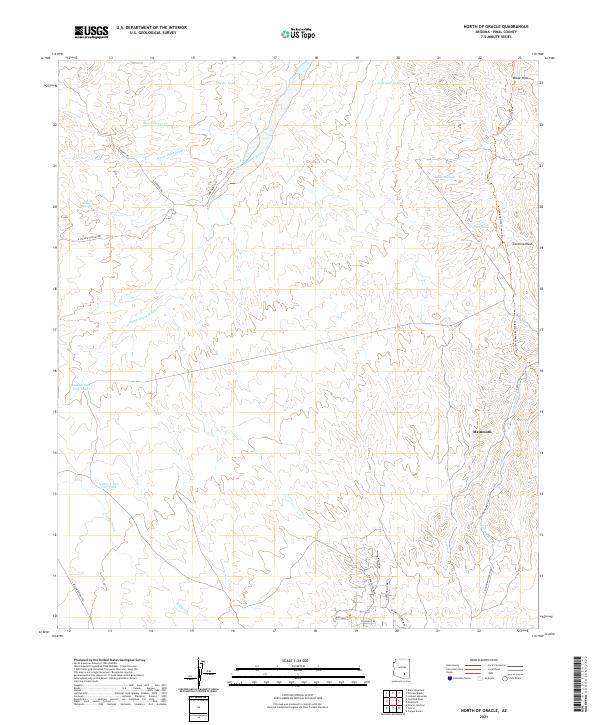
2021 Map of North of Oracle
USGS Topo · Published 2021About this map
Mammoth anchors the southeastern corner of this arid landscape, situated where the Arizona National Scenic Trl skirts the eastern boundary near the Black Hills. The map reveal a complex network of seasonal drainages, dominated by the wide corridor of Camp Grant Wash and its many tributaries like Bloodsucker Wash and Horse Foot Wash. These desert washes define the movement and settlement patterns of the region, historically providing the primary routes through the brush-covered terrain.
Find a feature on this map
37 named features on this map. Tap any name to fly to it.
Don’t see what you’re looking for? This feature index may not catch every label — zoom into the map to look around manually.
Map Details
Editions of this 2021 North of Oracle Map
This is the sole edition of this map. No revisions or reprints were ever made.
Other maps of this area

1911 · Winkelman
USGS Topo · 1:125,000

1913 · Winkelman
USGS Topo · 1:125,000

1948 · Mammoth
USGS Topo · 1:62,500

1948 · Mammoth
USGS Topo · 1:24,000

1948 · Campo Bonito
USGS Topo · 1:24,000

1949 · Mammoth
USGS Topo · 1:24,000

1949 · Campo Bonito
USGS Topo · 1:24,000

1949 · Holy Joe Peak
USGS Topo · 1:62,500

1949 · Winkelman
USGS Topo · 1:62,500

1949 · Black Mountain
USGS Topo · 1:24,000