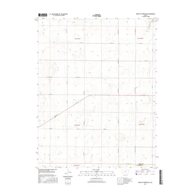
2015 Map of North of Pierceville
USGS Topo · Published 2015About this map
Agricultural patterns and a grid-based transportation network define this High Plains landscape in southwestern Kansas. The area sits on the boundary between Finney Co and Gray Co, where a series of section-line roads such as N Mennonite Rd and N Scott Rd organize the vast open country. The geography is characterized by its subtle undulations and numerous small depressions, likely temporary wetlands or basins, scattered throughout the township boundaries of t23s r31w and t22s r31w. Major thoroughfares like E Kansas Ave cut across the landscape, providing primary transit between rural farmsteads and nearby market centers. The influence of specific local communities is evident in the naming of roads like N Little Mennonite Rd, reflecting the heritage and settlement patterns of the families who established these western Kansas plains.
Find a feature on this map
22 named features on this map. Tap any name to fly to it.
Don’t see what you’re looking for? This feature index may not catch every label — zoom into the map to look around manually.
Map Details
Editions of this 2015 North of Pierceville Map
This is the sole edition of this map. No revisions or reprints were ever made.
Other maps of this area
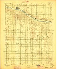
1896 · Garden
USGS Topo · 1:125,000
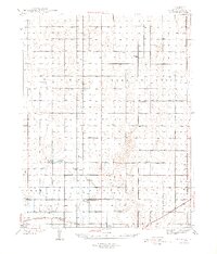
1944 · Tennis
USGS Topo · 1:62,500

1955 · Dodge City
USGS Topo · 1:250,000

1955 · Scott City
USGS Topo · 1:250,000

1958 · Dodge City
USGS Topo · 1:250,000

1958 · Scott City
USGS Topo · 1:250,000

1959 · Dodge City
USGS Topo · 1:250,000
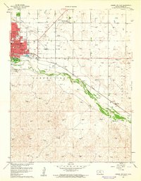
1960 · Garden City East
USGS Topo · 1:24,000
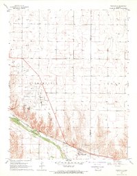
1967 · Pierceville
USGS Topo · 1:24,000
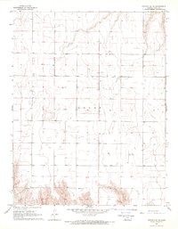
1968 · Pierceville NE
USGS Topo · 1:24,000