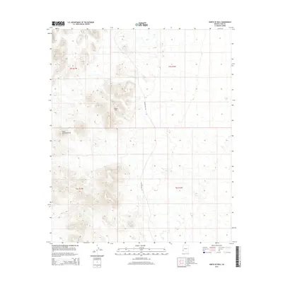
2014 Map of North of Roll
USGS Topo · Published 2014About this map
The Black Hills dominate the central landscape of this Yuma County quadrangle, situated just east of the Castle Dome Mountains. This arid region of southwestern Arizona is defined by dramatic elevation changes, captured through 20-foot contour intervals that trace the steep desert ridges and alluvial fans. Human presence is sparse, marked primarily by Wellton Kofa Rd bisecting the terrain as it moves north through the valley. This 2014 survey documents the vital water infrastructure necessary for desert survival and livestock, specifically the presence of Norton Tank on the eastern edge of the survey area. The map highlights the intersection of several townships, including t5s r17w and t6s r16w, providing a precise look at the land division in this remote stretch of the Sonoran desert during the early twenty-first century.
Find a feature on this map
8 named features on this map. Tap any name to fly to it.
Don’t see what you’re looking for? This feature index may not catch every label — zoom into the map to look around manually.
Map Details
Editions of this 2014 North of Roll Map
This is the sole edition of this map. No revisions or reprints were ever made.
Other maps of this area
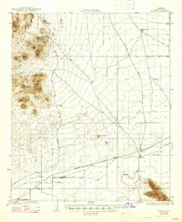
1928 · Norton
USGS Topo · 1:62,500
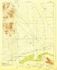
1929 · Norton
USGS Topo · 1:62,500
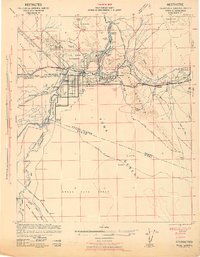
1942 · Yuma
USGS Topo · 1:250,000

1942 · Blythe
USGS Topo · 1:250,000
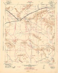
1942 · Vicksburg
USGS Topo · 1:250,000

1953 · Ajo
USGS Topo · 1:250,000
1954 · El Centro
USGS Topo · 1:250,000

1954 · Salton Sea
USGS Topo · 1:250,000
1954 · Phoenix
USGS Topo · 1:250,000

1955 · Salton Sea
USGS Topo · 1:250,000