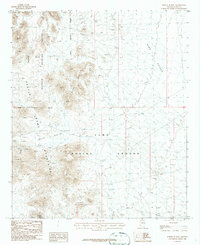
1986 Map of North of Roll
USGS Topo · Published 1986About this map
The Kofa National Wildlife Refuge and the Yuma Proving Ground meet in this 1980s landscape, defined by a stark boundary between environmental conservation and military operations. The rugged terrain is anchored by the Castle Dome Mountains to the west and the Black Hills near the center, separated by the arid expanses of Hogg Valley and King Valley. Remote four-wheel-drive tracks serve as the primary infrastructure through these basins, reflecting a landscape used for both wilderness preservation and defense testing.
Find a feature on this map
18 named features on this map. Tap any name to fly to it.
Don’t see what you’re looking for? This feature index may not catch every label — zoom into the map to look around manually.
Map Details
Editions of this 1986 North of Roll Map
This is the sole edition of this map. No revisions or reprints were ever made.
Other maps of this area

1928 · Norton
USGS Topo · 1:62,500

1929 · Norton
USGS Topo · 1:62,500

1942 · Yuma
USGS Topo · 1:250,000

1942 · Blythe
USGS Topo · 1:250,000

1942 · Vicksburg
USGS Topo · 1:250,000

1953 · Ajo
USGS Topo · 1:250,000

1954 · El Centro
USGS Topo · 1:250,000

1954 · Salton Sea
USGS Topo · 1:250,000

1954 · Phoenix
USGS Topo · 1:250,000

1955 · Salton Sea
USGS Topo · 1:250,000