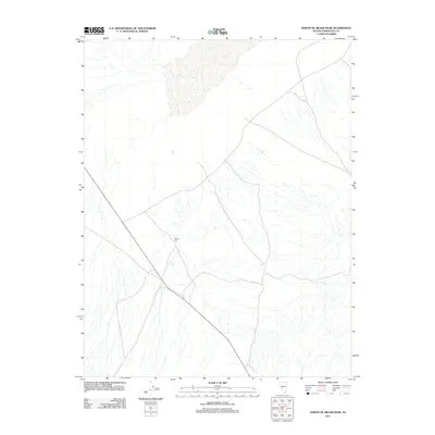
2011 Map of North of Silver Peak
USGS Topo · Published 2011About this map
Wood Yard stands as a focal point in this high-desert region of Esmeralda County, situated just north of the Great Basin mining districts. The terrain is defined by a complex network of seasonal washes and alluvial fans that descend toward the desert floor. This 2011 survey illustrates the modern road network and transportation corridors through the arid basin, reflecting the sparse, utilitarian settlement patterns common in this part of Nevada. While the landscape is primarily open and undeveloped, the concentration of tracks and unpaved routes near the historic center of Wood Yard suggests its ongoing role as a landmark for navigation and resource access in the high plateau country.
Find a feature on this map
1 named feature on this map. Tap any name to fly to it.
Don’t see what you’re looking for? This feature index may not catch every label — zoom into the map to look around manually.
Map Details
Editions of this 2011 North of Silver Peak Map
This is the sole edition of this map. No revisions or reprints were ever made.
Other maps of this area

1898 · Silver Peak
USGS Topo · 1:125,000

1900 · Silver Peak
USGS Topo · 1:125,000

1907 · Tonopah
USGS Topo · 1:250,000

1908 · Lida
USGS Topo · 1:250,000

1908 · Tonopah
USGS Topo · 1:250,000

1913 · Lida
USGS Topo · 1:250,000

1954 · Goldfield
USGS Topo · 1:250,000

1955 · Goldfield
USGS Topo · 1:250,000

1956 · Tonopah
USGS Topo · 1:250,000

1958 · Goldfield
USGS Topo · 1:250,000