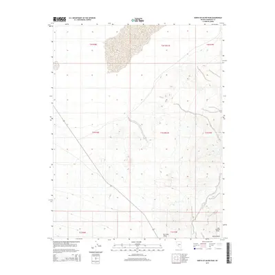
2015 Map of North of Silver Peak
USGS Topo · Published 2015About this map
Big Smoky Valley dominates this high-desert basin in Esmeralda County, where the valley floor meets the alluvial fans of the surrounding terrain. The landscape is defined by its vast open spaces and sparse infrastructure, typical of the central Nevada desert. To the southeast, the terrain begins to rise toward the Last Chance Range, while the Ralston Desert occupies the lower reaches of the quadrangle. These features illustrate the geographic transition from valley floor to rocky outcrop, a pattern often studied by those researching Great Basin land use and hydrology. The map depicts a network of local roads and 4WD tracks that navigate the expansive township and range sections, providing access to these remote desert reaches.
Find a feature on this map
11 named features on this map. Tap any name to fly to it.
Don’t see what you’re looking for? This feature index may not catch every label — zoom into the map to look around manually.
Map Details
Editions of this 2015 North of Silver Peak Map
This is the sole edition of this map. No revisions or reprints were ever made.
Other maps of this area
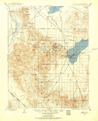
1898 · Silver Peak
USGS Topo · 1:125,000
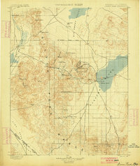
1900 · Silver Peak
USGS Topo · 1:125,000

1907 · Tonopah
USGS Topo · 1:250,000
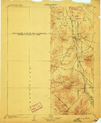
1908 · Lida
USGS Topo · 1:250,000

1908 · Tonopah
USGS Topo · 1:250,000
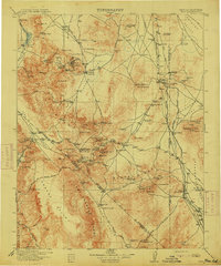
1913 · Lida
USGS Topo · 1:250,000

1954 · Goldfield
USGS Topo · 1:250,000
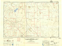
1955 · Goldfield
USGS Topo · 1:250,000

1956 · Tonopah
USGS Topo · 1:250,000
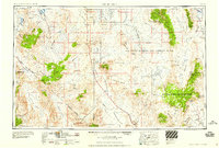
1958 · Goldfield
USGS Topo · 1:250,000