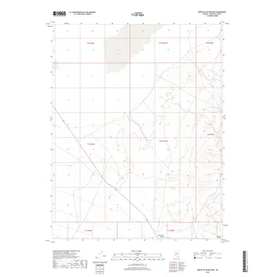
2018 Map of North of Silver Peak
USGS Topo · Published 2018About this map
Big Smoky Valley dominates the southern reaches of this landscape in the high desert of Esmeralda County. This U.S. Geological Survey topographic study from 2018 captures the expansive basin floor and the subtle rise toward the Ralston Desert at the southeastern edge of the quadrangle. The map is defined by its extensive Public Land Survey System grid, documenting townships such as t1n r38.5e and t1n r39e through a series of section lines and undeveloped road networks that follow the natural contours of the valley floor. The geography here is a study in desert hydrology and land management, where seasonal drainages and alluvial fans shape the terrain between the mountain ranges that border the valley.
Find a feature on this map
9 named features on this map. Tap any name to fly to it.
Don’t see what you’re looking for? This feature index may not catch every label — zoom into the map to look around manually.
Map Details
Editions of this 2018 North of Silver Peak Map
This is the sole edition of this map. No revisions or reprints were ever made.
Other maps of this area
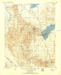
1898 · Silver Peak
USGS Topo · 1:125,000
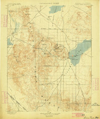
1900 · Silver Peak
USGS Topo · 1:125,000

1907 · Tonopah
USGS Topo · 1:250,000
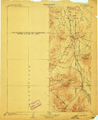
1908 · Lida
USGS Topo · 1:250,000

1908 · Tonopah
USGS Topo · 1:250,000
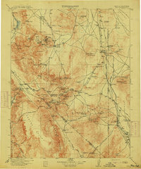
1913 · Lida
USGS Topo · 1:250,000

1954 · Goldfield
USGS Topo · 1:250,000
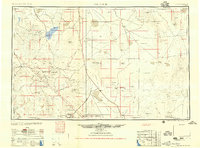
1955 · Goldfield
USGS Topo · 1:250,000

1956 · Tonopah
USGS Topo · 1:250,000
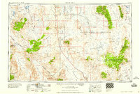
1958 · Goldfield
USGS Topo · 1:250,000