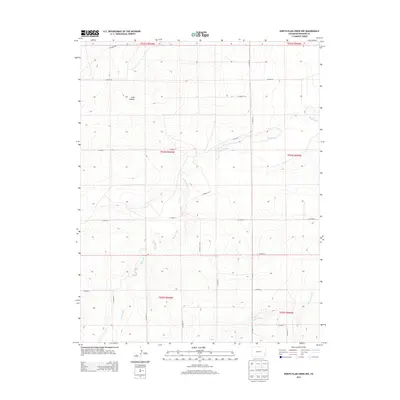
2013 Map of North Plum Creek NW
USGS Topo · Published 2013About this map
Wolf Creek and Granada Creek define the drainage patterns across this section of Prowers County, carving subtle paths through the high plains landscape. The terrain is characterized by the broad depression of Long Hollow in the northwest, where the elevation reaches approximately 3,850 feet. This 2013 survey illustrates the systematic organization of the rural frontier, dominated by a precise grid of county roads and Public Land Survey System boundaries, including t024s r045w and t025s r044w.
Find a feature on this map
25 named features on this map. Tap any name to fly to it.
Don’t see what you’re looking for? This feature index may not catch every label — zoom into the map to look around manually.
Map Details
Editions of this 2013 North Plum Creek NW Map
This is the sole edition of this map. No revisions or reprints were ever made.
Other maps of this area
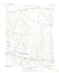
1890 · Granada
USGS Topo · 1:125,000
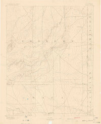
1891 · Albany
USGS Topo · 1:125,000
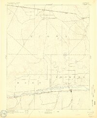
1892 · Lamar
USGS Topo · 1:125,000
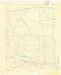
1892 · Granada
USGS Topo · 1:125,000
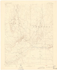
1892 · Two Butte
USGS Topo · 1:125,000
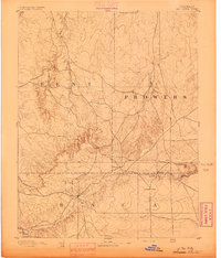
1893 · Two Butte
USGS Topo · 1:125,000
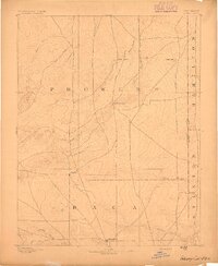
1893 · Albany
USGS Topo · 1:125,000
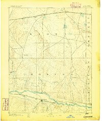
1894 · Granada
USGS Topo · 1:125,000
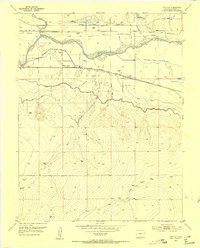
1952 · Carlton
USGS Topo · 1:24,000
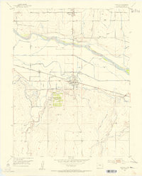
1953 · Granada
USGS Topo · 1:24,000