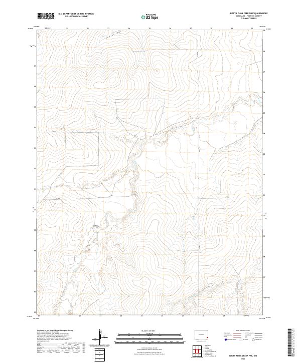
2022 Map of North Plum Creek NW
USGS Topo · Published 2022About this map
The High Plains landscape of Prowers County is defined by the ephemeral drainage patterns of Wolf Cr and Granada Cr. This 2022 survey illustrates the geometric precision of the Public Land Survey System as it overlays the natural contours of the land, specifically within the townships of t24s r45w and t24s r44w. The area is largely characterized by topographic depressions and draws such as Long Hollow in the northern section of the sheet.
Find a feature on this map
12 named features on this map. Tap any name to fly to it.
Don’t see what you’re looking for? This feature index may not catch every label — zoom into the map to look around manually.
Map Details
Editions of this 2022 North Plum Creek NW Map
This is the sole edition of this map. No revisions or reprints were ever made.
Other maps of this area

1890 · Granada
USGS Topo · 1:125,000

1891 · Albany
USGS Topo · 1:125,000

1892 · Lamar
USGS Topo · 1:125,000

1892 · Granada
USGS Topo · 1:125,000

1892 · Two Butte
USGS Topo · 1:125,000

1893 · Two Butte
USGS Topo · 1:125,000

1893 · Albany
USGS Topo · 1:125,000

1894 · Granada
USGS Topo · 1:125,000

1952 · Carlton
USGS Topo · 1:24,000

1953 · Granada
USGS Topo · 1:24,000