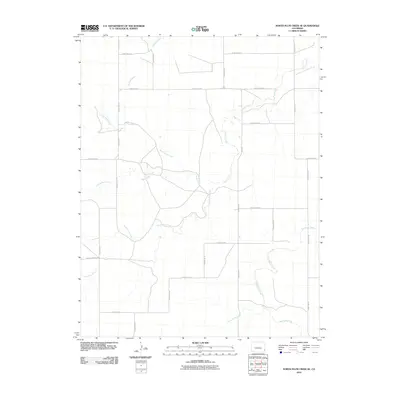
2010 Map of North Plum Creek SE
USGS Topo · Published 2010About this map
Plum Creek and its many branches form the primary drainage system of this high plains region in Prowers County. The map details the intricate hydrography of the area, including North Plum Creek, Middle Plum Creek, and South Plum Creek, which converge to feed the main stem. Further south, the landscape is defined by the drainage of Two Butte Creek and North Butte Creek, illustrating the natural water management patterns essential to this agricultural landscape.
Find a feature on this map
24 named features on this map. Tap any name to fly to it.
Don’t see what you’re looking for? This feature index may not catch every label — zoom into the map to look around manually.
Map Details
Editions of this 2010 North Plum Creek SE Map
This is the sole edition of this map. No revisions or reprints were ever made.
Other maps of this area
1891 · Albany
USGS Topo · 1:125,000
1893 · Albany
USGS Topo · 1:125,000

1955 · La Junta
USGS Topo · 1:250,000

1958 · La Junta
USGS Topo · 1:250,000
1966 · Two Butte Springs
USGS Topo · 1:24,000
1966 · Durkee Creek NW
USGS Topo · 1:24,000

1968 · La Junta
USGS Topo · 1:250,000
1968 · North Plum Creek NE
USGS Topo · 1:24,000
1968 · North Plum Creek SE
USGS Topo · 1:24,000
1968 · North Plum Creek NW
USGS Topo · 1:24,000