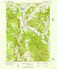
1954 Map of North Pownal
USGS Topo · Published 1956About this map
The Hoosic River carves a winding path through the borderlands of Vermont and New York, serving as the primary corridor for both the Boston and Maine railroad and early settlement patterns. In this mid-century landscape, the transition from industrial valley floors to the high ridges of the Taconic Mountains is clearly defined, with small hamlets like Hoosick and North Pownal concentrated near the water. The map preserves the locations of several rural education centers, including School No 11 and School No 6, which were often the social anchors for scattered farming families.
Find a feature on this map
47 named features on this map. Tap any name to fly to it.
Don’t see what you’re looking for? This feature index may not catch every label — zoom into the map to look around manually.
Map Details
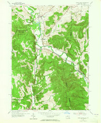
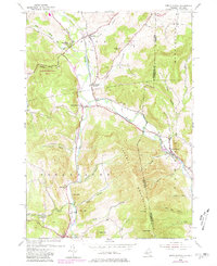
Editions of this 1954 North Pownal Map
3 editions found
Other maps of this area

1886 · Greylock
USGS Topo · 1:62,500

1888 · Berlin
USGS Topo · 1:62,500

1890 · Berlin
USGS Topo · 1:62,500

1891 · Greylock
USGS Topo · 1:62,500

1893 · Greylock
USGS Topo · 1:62,500

1894 · Berlin
USGS Topo · 1:62,500

1897 · Hoosick
USGS Topo · 1:62,500

1898 · Berlin
USGS Topo · 1:62,500

1898 · Bennington
USGS Topo · 1:62,500

1898 · Greylock
USGS Topo · 1:62,500