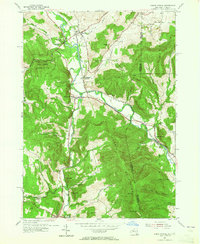
1954 Map of North Pownal
USGS Topo · Published 1965About this map
The Taconic Mountains dominate this borderland where New York and Vermont meet, carved through by the winding Hoosic River. During the mid-1950s, the Boston and Maine RR served as the primary industrial artery, connecting the settlements of Hoosick and North Pownal while passing through the critical interchange at Petersburg Junction. The landscape is a mix of agricultural valleys and dense woodlands, including the Shingle State Forest Rensselaer No 3.
Find a feature on this map
45 named features on this map. Tap any name to fly to it.
Don’t see what you’re looking for? This feature index may not catch every label — zoom into the map to look around manually.
Map Details
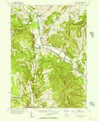
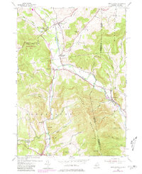
Editions of this 1954 North Pownal Map
3 editions found
Other maps of this area

1886 · Greylock
USGS Topo · 1:62,500

1888 · Berlin
USGS Topo · 1:62,500

1890 · Berlin
USGS Topo · 1:62,500

1891 · Greylock
USGS Topo · 1:62,500

1893 · Greylock
USGS Topo · 1:62,500

1894 · Berlin
USGS Topo · 1:62,500

1897 · Hoosick
USGS Topo · 1:62,500

1898 · Berlin
USGS Topo · 1:62,500

1898 · Bennington
USGS Topo · 1:62,500

1898 · Greylock
USGS Topo · 1:62,500