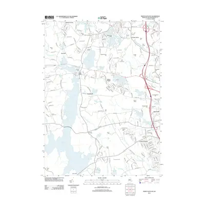
2012 Map of North Scituate
USGS Topo · Published 2012About this map
Moswansicut Pond and the extensive Waterman Reservoir anchor a landscape defined by its agricultural heritage and early industrial water power in the early 21st century. The map reveals an area where suburban growth at Comstock Gardens and Simmonsville meets a long-standing tradition of fruit cultivation, evident in the numerous orchards like Applehill Orchard, Barden Orchards, and Knight Farm dotting the hills.
Find a feature on this map
214 named features on this map. Tap any name to fly to it.
Don’t see what you’re looking for? This feature index may not catch every label — zoom into the map to look around manually.
Map Details
Editions of this 2012 North Scituate Map
This is the sole edition of this map. No revisions or reprints were ever made.
Other maps of this area

1887 · Providence
USGS Topo · 1:62,500

1889 · Providence
USGS Topo · 1:62,500

1889 · Burrillville
USGS Topo · 1:62,500

1890 · Narragansett Bay
USGS Topo · 1:62,500

1890 · Kent
USGS Topo · 1:62,500

1892 · Narragansett Bay
USGS Topo · 1:62,500

1894 · Burrillville
USGS Topo · 1:62,500

1894 · Kent
USGS Topo · 1:62,500

1894 · Providence
USGS Topo · 1:62,500

1915 · Burrillville
USGS Topo · 1:62,500