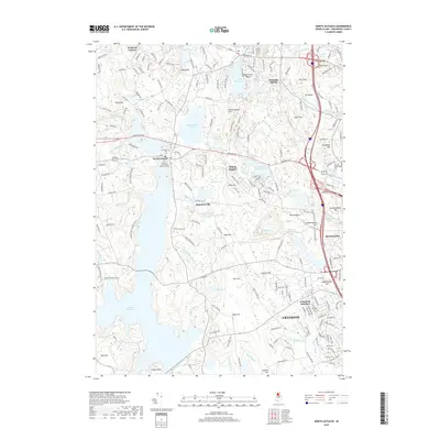
2018 Map of North Scituate
USGS Topo · Published 2018About this map
North Scituate and the surrounding Providence County landscape are defined by an intricate network of water management and varied topography. The massive Scituate Reservoir dominates the western half of the map, while smaller bodies like Moswansicut Pond, Oak Swamp Reservoir, and Slacks Pond illustrate the intensive hydraulic engineering of the region. The terrain is marked by distinctive elevations including Sutamachute Hill, Suckatunkanuc Hill, and Bare Rock, which break up the wooded areas and suburban developments of Cranston.
Find a feature on this map
206 named features on this map. Tap any name to fly to it.
Don’t see what you’re looking for? This feature index may not catch every label — zoom into the map to look around manually.
Map Details
Editions of this 2018 North Scituate Map
This is the sole edition of this map. No revisions or reprints were ever made.
Other maps of this area

1887 · Providence
USGS Topo · 1:62,500

1889 · Providence
USGS Topo · 1:62,500

1889 · Burrillville
USGS Topo · 1:62,500

1890 · Narragansett Bay
USGS Topo · 1:62,500

1890 · Kent
USGS Topo · 1:62,500

1892 · Narragansett Bay
USGS Topo · 1:62,500

1894 · Burrillville
USGS Topo · 1:62,500

1894 · Kent
USGS Topo · 1:62,500

1894 · Providence
USGS Topo · 1:62,500

1915 · Burrillville
USGS Topo · 1:62,500