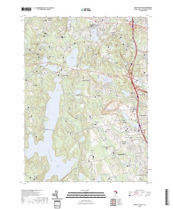
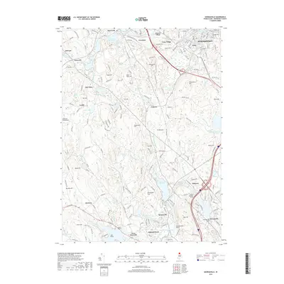
2024 Map of North Scituate
USGS Topo · Published 2024About this map
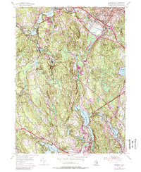
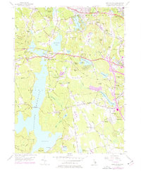
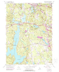
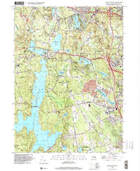
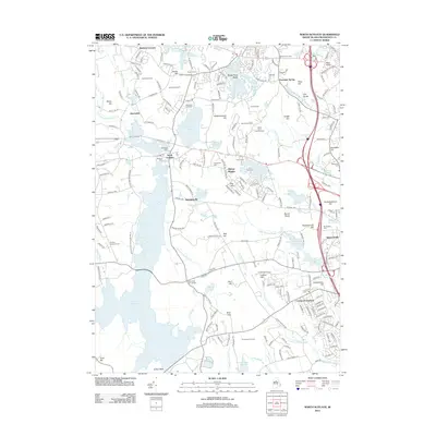
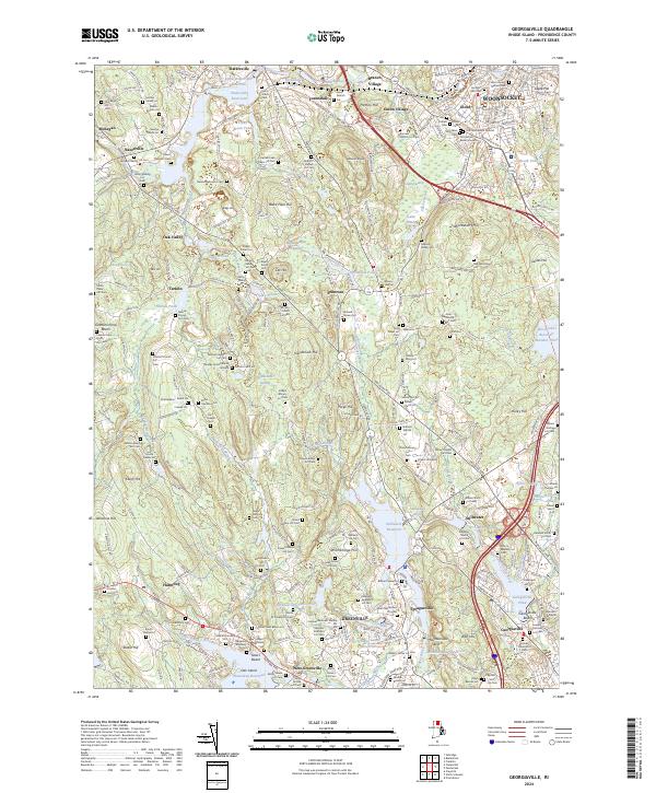
The Scituate Reservoir dominates the southwestern quadrant of this Providence County landscape, marking the headwaters of the North Branch Pawtuxet River. The region is defined by a dense concentration of family burial lots and historic cemeteries, reflecting deep genealogical roots in settlements like North Scituate, Greenville, and Saundersville. These ancestral sites, such as the Doctor Benjamin Belknap Lot Cem and Major Thomas Mitchell Lot, are interspersed among prominent granite outcrops and hills, including Snake Den, Bare Rock, and Sutamachute Hill.
Find a feature on this map
166 named features on this map. Tap any name to fly to it.
Don’t see what you’re looking for? This feature index may not catch every label — zoom into the map to look around manually.
Map Details
Editions of this 2024 North Scituate Map
This is the sole edition of this map. No revisions or reprints were ever made.
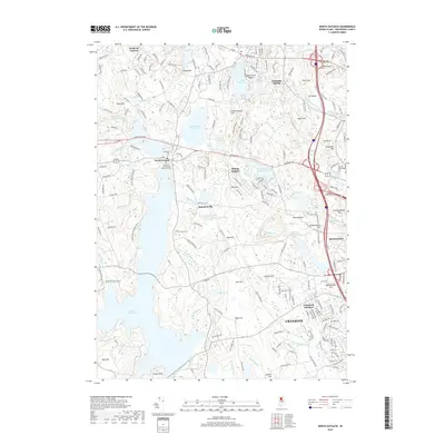
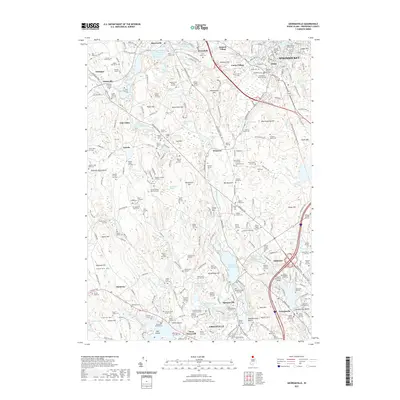
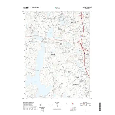
Historical Maps of Cranston Through Time
22 maps found

1889 Burrillville
Providence County, RI

1894 Burrillville
Providence County, RI

1915 Burrillville
Providence County, RI

1921 Burrillville
Providence County, RI
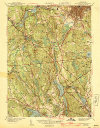
1943 Georgiaville
Providence County, RI
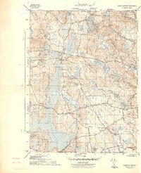
1943 North Scituate
Providence County, RI
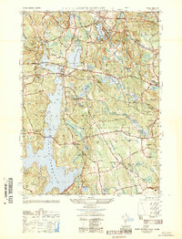
1950 North Scituate
Providence County, RI
1954 Georgiaville
Providence County, RI
1955 North Scituate
Providence County, RI
1975 North Scituate
Providence County, RI
1996 North Scituate
Providence County, RI

1999 Georgiaville
Providence County, RI
2012 Georgiaville
Providence County, RI
2012 North Scituate
Providence County, RI
2015 Georgiaville
Providence County, RI
2015 North Scituate
Providence County, RI
2018 Georgiaville
Providence County, RI
2018 North Scituate
Providence County, RI
2021 Georgiaville
Providence County, RI
2021 North Scituate
Providence County, RI
2024 Georgiaville
Providence County, RI
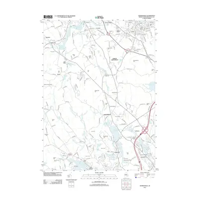
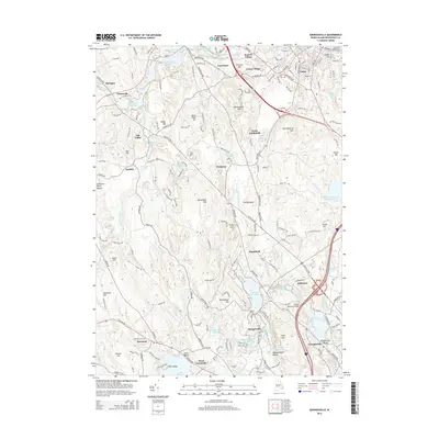
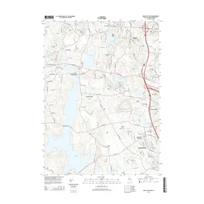
2024 North Scituate
Providence County, RI