2023 Map of North Star
USGS Topo · Published 2023About this map
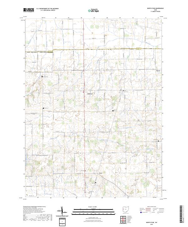
The Wabash River originates its journey through the rural landscape of Darke and Mercer Counties, winding past early family and parish landmarks. The settlement of North Star sits at the center of a grid of section lines and county roads, serving as a hub for the surrounding agricultural community. To the south, the small cluster at Brock remains a point of interest, while Osgood marks the eastern edge of the survey. The geography is defined by a complex network of drainage ditches and creeks, including Mile Creek, Swamp Creek, and the North Fork Stillwater River, which have long shaped the tiling and farming of this terrain.
Find a feature on this map
97 named features on this map. Tap any name to fly to it.
Don’t see what you’re looking for? This feature index may not catch every label — zoom into the map to look around manually.
Map Details
Editions of this 2023 North Star Map
This is the sole edition of this map. No revisions or reprints were ever made.