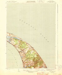
1944 Map of North Truro
USGS Topo · Published 1944About this map
The Highlands of the Outer Cape are meticulously detailed in this early 1940s survey, showing the narrow land between Cape Cod Bay and the open Atlantic Ocean. The landscape is defined by its glacial geology, featuring named depressions like Great Hollow and prominent elevations such as Green Hill and Small's Hill. At this time, the region maintained a low-density settlement pattern centered around North Truro and the Village Pond Village cluster near Village Pond.
Find a feature on this map
28 named features on this map. Tap any name to fly to it.
Don’t see what you’re looking for? This feature index may not catch every label — zoom into the map to look around manually.
Map Details
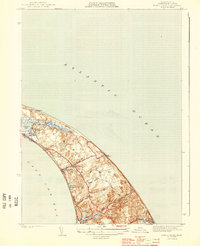
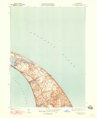
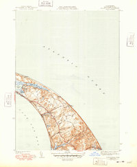
Editions of this 1944 North Truro Map
4 editions found
Other maps of this area

1887 · Wellfleet
USGS Topo · 1:62,500

1887 · Provincetown
USGS Topo · 1:62,500

1889 · Provincetown
USGS Topo · 1:62,500

1889 · Wellfleet
USGS Topo · 1:62,500

1893 · Wellfleet
USGS Topo · 1:62,500

1898 · Provincetown
USGS Topo · 1:62,500

1942 · Cape Cod Bay
USGS Topo · 1:125,000

1942 · Nauset
USGS Topo · 1:125,000

1944 · Provincetown
USGS Topo · 1:31,680

1944 · Wellfleet
USGS Topo · 1:31,680