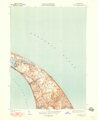
1944 Map of North Truro
USGS Topo · Published 1948About this map
Cape Cod's outer arm reveals its distinctive late-war topography, where the Atlantic winds have sculpted a landscape of deep hollows and shifting sands. Coastal navigation and life center around the Cape Cod Lighthouse and the settlement of North Truro, which sits perched between the Atlantic Ocean and Cape Cod Bay. The map documents a delicate balance between maritime exposure and inland shelter, seen in the transition from the exposed Pilgrim Beach to the protected basin of Pilgrim Lake.
Find a feature on this map
31 named features on this map. Tap any name to fly to it.
Don’t see what you’re looking for? This feature index may not catch every label — zoom into the map to look around manually.
Map Details
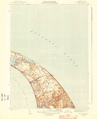
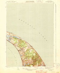
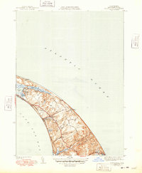
Editions of this 1944 North Truro Map
4 editions found
Other maps of this area

1887 · Wellfleet
USGS Topo · 1:62,500

1887 · Provincetown
USGS Topo · 1:62,500

1889 · Provincetown
USGS Topo · 1:62,500

1889 · Wellfleet
USGS Topo · 1:62,500

1893 · Wellfleet
USGS Topo · 1:62,500

1898 · Provincetown
USGS Topo · 1:62,500

1942 · Cape Cod Bay
USGS Topo · 1:125,000

1942 · Nauset
USGS Topo · 1:125,000

1944 · Provincetown
USGS Topo · 1:31,680

1944 · Wellfleet
USGS Topo · 1:31,680