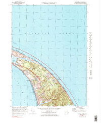
1972 Map of North Truro
USGS Topo · Published 1983About this map
North Truro Air Force Station and the Highland Light Coast Guard Sta anchor the high ground of the Outer Cape in this 1970s study. The landscape is defined by the massive expanse of the Cape Cod National Seashore, protecting the coastal dunes and marshes from Pilgrim Lake to the marshes of the Salt Meadow. The transition from the Atlantic shore at Head of the Meadow Beach to the calmer waters of Cape Cod Bay reveals a settlement pattern focused around North Truro and Pilgrim Heights. Local infrastructure for the era is visible in the network of coastal routes like Highland Road and Coast Guard Road, while natural features like Great Swamp and Moon Pond highlight the delicate hydrological balance of the peninsula.
Find a feature on this map
42 named features on this map. Tap any name to fly to it.
Don’t see what you’re looking for? This feature index may not catch every label — zoom into the map to look around manually.
Map Details
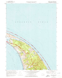
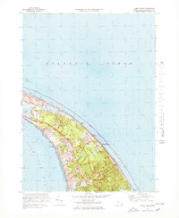
Editions of this 1972 North Truro Map
3 editions found
Other maps of this area

1887 · Wellfleet
USGS Topo · 1:62,500

1887 · Provincetown
USGS Topo · 1:62,500

1889 · Provincetown
USGS Topo · 1:62,500

1889 · Wellfleet
USGS Topo · 1:62,500

1893 · Wellfleet
USGS Topo · 1:62,500

1898 · Provincetown
USGS Topo · 1:62,500

1942 · Cape Cod Bay
USGS Topo · 1:125,000

1942 · Nauset
USGS Topo · 1:125,000

1944 · Provincetown
USGS Topo · 1:31,680

1944 · Wellfleet
USGS Topo · 1:31,680