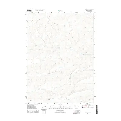
2014 Map of North Valley
USGS Topo · Published 2014About this map
Snake River meanders across the central portion of this Cherry County landscape, carving a distinct corridor through the Nebraska sandhills. The area is defined by its topographic depressions and drainage basins, most notably North Valley and Tennessee Valley in the western and southern reaches. To the south, Willow Valley follows the course of Willow Cr, which flows eastward toward its junction with Clifford Cr. This 2014 survey illustrates the sparse, high-plains geography of north-central Nebraska, where water resources like the river and small creeks dictate the layout of the land. The map provides a detailed view of the natural contours and hydrologic patterns of this quiet, undeveloped section of the state, centered on the primary drainage systems that have shaped the local terrain over time.
Find a feature on this map
6 named features on this map. Tap any name to fly to it.
Don’t see what you’re looking for? This feature index may not catch every label — zoom into the map to look around manually.
Map Details
Editions of this 2014 North Valley Map
This is the sole edition of this map. No revisions or reprints were ever made.
Other maps of this area

1949 · Steverson Lake
USGS Topo · 1:62,500

1949 · Turpin Lake
USGS Topo · 1:62,500

1951 · Steverson Lake
USGS Topo · 1:62,500

1951 · Gypsy Valley
USGS Topo · 1:62,500

1951 · Turpin Lake
USGS Topo · 1:62,500

1951 · Merriman 4
USGS Topo · 1:62,500

1957 · Valentine
USGS Topo · 1:250,000

1959 · Valentine
USGS Topo · 1:250,000

1985 · Mullen
USGS Topo · 1:100,000

1985 · Cody
USGS Topo · 1:100,000