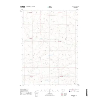
2017 Map of North Valley
USGS Topo · Published 2017About this map
Snake River winds through the northern reaches of this Cherry County landscape, cutting a path through the sand hills terrain. The 2017 survey reveals a sparsely settled region defined by its significant drainage basins, including the central North Valley and the southern Willow Valley. These low-lying areas, along with Tennessee Valley in the southeast corner, indicate the primary corridors for water and seasonal movement in this part of the Nebraska Sandhills. Small watercourses like Willow Cr and Clifford Cr feed into these valleys, illustrating the localized hydrology that sustains the ranching environment. The map provides a clear look at the Public Land Survey System grid, specifically within townships such as t30n r39w and t29n r38w, which continue to dictate property lines and land use in this open western country.
Find a feature on this map
12 named features on this map. Tap any name to fly to it.
Don’t see what you’re looking for? This feature index may not catch every label — zoom into the map to look around manually.
Map Details
Editions of this 2017 North Valley Map
This is the sole edition of this map. No revisions or reprints were ever made.
Other maps of this area

1949 · Steverson Lake
USGS Topo · 1:62,500

1949 · Turpin Lake
USGS Topo · 1:62,500

1951 · Steverson Lake
USGS Topo · 1:62,500

1951 · Gypsy Valley
USGS Topo · 1:62,500

1951 · Turpin Lake
USGS Topo · 1:62,500

1951 · Merriman 4
USGS Topo · 1:62,500

1957 · Valentine
USGS Topo · 1:250,000

1959 · Valentine
USGS Topo · 1:250,000

1985 · Mullen
USGS Topo · 1:100,000

1985 · Cody
USGS Topo · 1:100,000