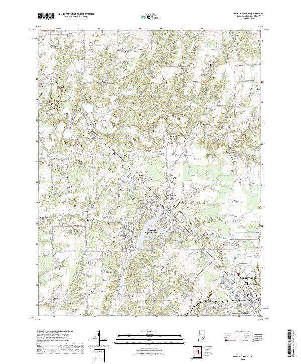
2022 Map of North Vernon
USGS Topo · Published 2022About this map
North Vernon anchors the southeast corner of this Jennings County landscape, where the street grid transitions into a network of country roads and winding watercourses. The suburban development at Country Squire Lakes contrasts with the traditional rural centers of Scipio and Queensville, illustrating the evolving land use patterns of the early 21st century. The terrain is defined by the sharp incisions of Sand Creek and its many tributaries, including Mutton Cr and Wyaloosing Creek, which carve through the till plains.
Find a feature on this map
87 named features on this map. Tap any name to fly to it.
Don’t see what you’re looking for? This feature index may not catch every label — zoom into the map to look around manually.
Map Details
Editions of this 2022 North Vernon Map
This is the sole edition of this map. No revisions or reprints were ever made.
Other maps of this area

1942 · Columbus
USGS Topo · 1:125,000

1953 · Cincinnati
USGS Topo · 1:250,000
1956 · Louisville
USGS Topo · 1:250,000

1957 · Cincinnati
USGS Topo · 1:250,000
1957 · Butlerville
USGS Topo · 1:24,000
1957 · Azalia
USGS Topo · 1:24,000
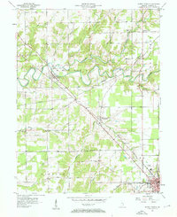
1957 · North Vernon
USGS Topo · 1:24,000
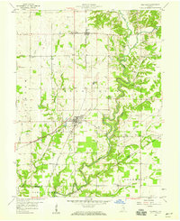
1958 · Westport
USGS Topo · 1:24,000
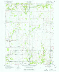
1958 · Grammer
USGS Topo · 1:24,000
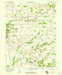
1958 · Elizabethtown
USGS Topo · 1:24,000