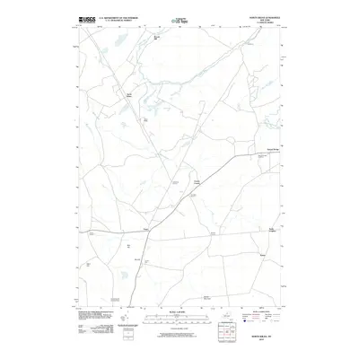
2010 Map of North Wilna
USGS Topo · Published 2010About this map
The Indian River winds through the northern landscape of this Jefferson County quadrangle, a region defined by a high density of rural crossroads and historic mills. At the northern edge, Woods Mill stands as a testament to the early industry that utilized local waterways, while the settlement of Natural Bridge and the nearby Natural Bridge Cemetery anchor the eastern boundary. The presence of the Wilna Range suggests the area's ongoing military significance, contrasting with the many family-named intersections such as Lewisburg Corners, Cowan Corner, and Ormiston Corners.
Find a feature on this map
24 named features on this map. Tap any name to fly to it.
Don’t see what you’re looking for? This feature index may not catch every label — zoom into the map to look around manually.
Map Details
Editions of this 2010 North Wilna Map
This is the sole edition of this map. No revisions or reprints were ever made.
Other maps of this area

1902 · Carthage
USGS Topo · 1:62,500

1904 · Carthage
USGS Topo · 1:62,500

1911 · Antwerp
USGS Topo · 1:62,500

1911 · Lowville
USGS Topo · 1:62,500

1913 · Lowville
USGS Topo · 1:62,500

1913 · Lake Bonaparte
USGS Topo · 1:62,500

1916 · Lake Bonaparte
USGS Topo · 1:62,500

1942 · Copenhagen
USGS Topo · 1:24,000

1943 · Copenhagen
USGS Topo · 1:31,680

1943 · Carthage
USGS Topo · 1:31,680