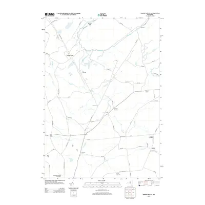
2013 Map of North Wilna
USGS Topo · Published 2013About this map
Woods Mill and North Wilna sit at the center of this Jefferson County landscape, where the Indian River winds through a terrain defined by historical crossroads and small settlements. The area is heavily influenced by its proximity to Fort Drum, with the US Military Hwy and the Wilna Range occupying significant portions of the northern and central map area. Genealogists and local historians can find a network of named corners and rural clusters such as Lewisburg Corners, Ormiston Corners, and Cowan Corner, which speak to the historic settlement patterns of upstate New York. The map also records family-named landmarks like Barr Hill and Ney Hill, alongside the Natural Bridge Cem near the eastern boundary. The presence of Countryman's Landing Strip Airport in the south provides a modern aviation contrast to the established agricultural and military heritage of the region.
Find a feature on this map
63 named features on this map. Tap any name to fly to it.
Don’t see what you’re looking for? This feature index may not catch every label — zoom into the map to look around manually.
Map Details
Editions of this 2013 North Wilna Map
This is the sole edition of this map. No revisions or reprints were ever made.
Other maps of this area

1902 · Carthage
USGS Topo · 1:62,500

1904 · Carthage
USGS Topo · 1:62,500

1911 · Antwerp
USGS Topo · 1:62,500

1911 · Lowville
USGS Topo · 1:62,500

1913 · Lowville
USGS Topo · 1:62,500

1913 · Lake Bonaparte
USGS Topo · 1:62,500

1916 · Lake Bonaparte
USGS Topo · 1:62,500

1942 · Copenhagen
USGS Topo · 1:24,000

1943 · Copenhagen
USGS Topo · 1:31,680

1943 · Carthage
USGS Topo · 1:31,680