
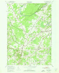
1949 Map of North Wilna
USGS Topo · Published 1983About this map
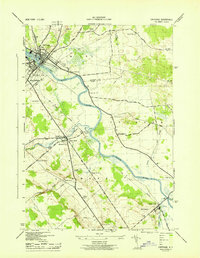
The Fort Drum Military Reservation dominates this northern New York landscape, showing a complex intersection of military training grounds and established rural settlements during the mid-century. The Indian River winds through the northern portion of the map, passing Woods Mill and Lewisburg as it cuts through the terrain. The area is marked by a network of historic thoroughfares, including the Russell Turnpike and Hogsback Road, which connected dispersed communities like North Wilna and North Croghan.
Find a feature on this map
54 named features on this map. Tap any name to fly to it.
Don’t see what you’re looking for? This feature index may not catch every label — zoom into the map to look around manually.
Map Details
Editions of this 1949 North Wilna Map
2 editions found
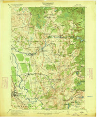
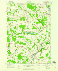
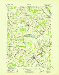
Other maps of this area

1902 · Carthage
USGS Topo · 1:62,500

1904 · Carthage
USGS Topo · 1:62,500

1911 · Antwerp
USGS Topo · 1:62,500

1911 · Lowville
USGS Topo · 1:62,500
1913 · Lowville
USGS Topo · 1:62,500

1913 · Lake Bonaparte
USGS Topo · 1:62,500

1916 · Lake Bonaparte
USGS Topo · 1:62,500
1942 · Copenhagen
USGS Topo · 1:24,000
1943 · Copenhagen
USGS Topo · 1:31,680
1943 · Carthage
USGS Topo · 1:31,680