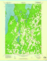
1957 Map of North Windham
USGS Topo · Published 1959About this map
Jordan Bay and the eastern reaches of Sebago Lake anchor this mid-century survey of the Maine interior. The Presumpscot River serves as a primary industrial artery, flowing south from the Sebago Lake Basin through a series of hydroelectric developments, including the Eel Weir Power Sta and the Dundee Power Sta at Dundee Pond. This waterway historically provided the power necessary for the region's growth, linking the lake to the manufacturing centers downstream.
Find a feature on this map
101 named features on this map. Tap any name to fly to it.
Don’t see what you’re looking for? This feature index may not catch every label — zoom into the map to look around manually.
Map Details
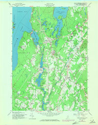
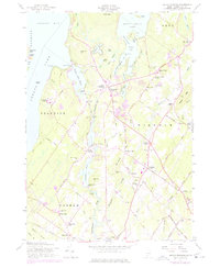
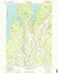
Editions of this 1957 North Windham Map
4 editions found
Other maps of this area

1891 · Portland
USGS Topo · 1:62,500

1891 · Buxton
USGS Topo · 1:62,500

1892 · Buxton
USGS Topo · 1:62,500

1893 · Portland
USGS Topo · 1:62,500

1893 · Buxton
USGS Topo · 1:62,500

1894 · Gray
USGS Topo · 1:62,500

1896 · Sebago
USGS Topo · 1:62,500

1898 · Gray
USGS Topo · 1:62,500

1914 · Portland
USGS Topo · 1:48,000

1916 · Portland
USGS Topo · 1:62,500