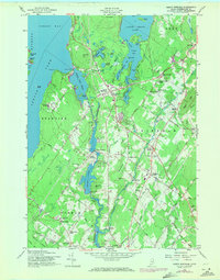
1957 Map of North Windham
USGS Topo · Published 1971About this map
Jordan Bay and the vast Sebago Lake dominate the western landscape of this Cumberland County region, where the water-powered industrial heritage of the Presumpscot River is clearly visible. The map details the hydroelectric infrastructure of the mid-20th century, specifically the Eel Weir Power Sta and Dundee Power Sta, which harnessed the river's descent from the lakes. This era shows North Windham as a growing hub, evidenced by the Arlington Sch and a Drive-in Theater along the main corridor.
Find a feature on this map
83 named features on this map. Tap any name to fly to it.
Don’t see what you’re looking for? This feature index may not catch every label — zoom into the map to look around manually.
Map Details
Editions of this 1957 North Windham Map
4 editions found
Other maps of this area

1891 · Portland
USGS Topo · 1:62,500

1891 · Buxton
USGS Topo · 1:62,500

1892 · Buxton
USGS Topo · 1:62,500

1893 · Portland
USGS Topo · 1:62,500

1893 · Buxton
USGS Topo · 1:62,500

1894 · Gray
USGS Topo · 1:62,500

1896 · Sebago
USGS Topo · 1:62,500

1898 · Gray
USGS Topo · 1:62,500

1914 · Portland
USGS Topo · 1:48,000

1916 · Portland
USGS Topo · 1:62,500