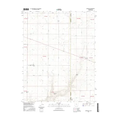
2016 Map of Northdale
USGS Topo · Published 2016About this map
Ucolo and Northdale sit at the intersection of high desert plateaus and deeply carved drainages along the Utah-Colorado state line. This 2016 survey reveals a landscape defined by expansive mesas such as White Flats Draw and dramatic vertical drops into Cottonwood Canyon and Coal Bed Canyon. The agricultural and ranching legacy of the region is evident in the network of county roads like Co RD 370 and Boulder Cutoff that traverse the high ground between canyons. Local history is anchored by the presence of Mountain View Cem and Valley View Cem, serving as quiet landmarks within Long Draw Canyon. The map illustrates how human settlement has adapted to the rugged topography, clinging to the flatter reaches near Horsehead Point and Cedar Point while ephemeral watercourses like Piute Cr and Chico Cr dictate the natural flow of the terrain across the San Juan and Dolores county borders.
Find a feature on this map
51 named features on this map. Tap any name to fly to it.
Don’t see what you’re looking for? This feature index may not catch every label — zoom into the map to look around manually.
Map Details
Editions of this 2016 Northdale Map
This is the sole edition of this map. No revisions or reprints were ever made.
Other maps of this area

1886 · Abajo
USGS Topo · 1:250,000

1892 · Abajo
USGS Topo · 1:250,000

1893 · Abajo
USGS Topo · 1:250,000

1949 · Egnar
USGS Topo · 1:24,000

1950 · Egnar
USGS Topo · 1:24,000

1955 · Verdure 4 NW
USGS Topo · 1:24,000

1955 · Verdure 1 SW
USGS Topo · 1:24,000

1956 · Cortez
USGS Topo · 1:250,000

1957 · Cedar 3 NW
USGS Topo · 1:24,000

1957 · Monument Canyon
USGS Topo · 1:62,500