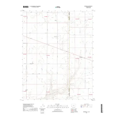
2019 Map of Northdale
USGS Topo · Published 2019About this map
Ucolo and Northdale sit on the high sagebrush plateaus along the border of Utah and Colorado, where agricultural life is shaped by the deep incisions of the surrounding landscape. The small settlement of Northdale is positioned near the junction of several county roads, serving as a focal point for the scattered homesteads in the northeastern portion of the sheet. To the south, the terrain drops dramatically into Coal Bed Canyon and Long Draw, revealing the erosional patterns of the Four Corners region. Local history is anchored at the Mountain View Cem near the state line, while geographic landmarks like Horsehead Point and Cedar Point define the southern horizons. Water sources remain vital but seasonal, represented by the winding courses of Piute Cr and Willow Cr, alongside the isolated Irwin Spring.
Find a feature on this map
43 named features on this map. Tap any name to fly to it.
Don’t see what you’re looking for? This feature index may not catch every label — zoom into the map to look around manually.
Map Details
Editions of this 2019 Northdale Map
This is the sole edition of this map. No revisions or reprints were ever made.
Other maps of this area

1886 · Abajo
USGS Topo · 1:250,000

1892 · Abajo
USGS Topo · 1:250,000

1893 · Abajo
USGS Topo · 1:250,000

1949 · Egnar
USGS Topo · 1:24,000

1950 · Egnar
USGS Topo · 1:24,000

1955 · Verdure 4 NW
USGS Topo · 1:24,000

1955 · Verdure 1 SW
USGS Topo · 1:24,000

1956 · Cortez
USGS Topo · 1:250,000

1957 · Cedar 3 NW
USGS Topo · 1:24,000

1957 · Monument Canyon
USGS Topo · 1:62,500