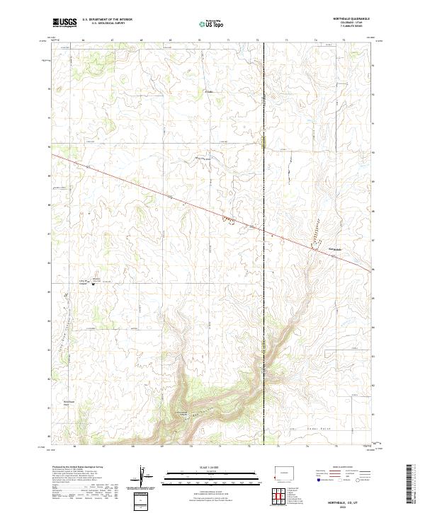
2022 Map of Northdale
USGS Topo · Published 2022About this map
Northdale and Ucolo anchor this high-desert landscape on the border of Colorado and Utah, where the terrain is deeply incised by a series of dramatic drainages. The map reveals a land structured by its canyons, notably Long Draw Canyon, Cottonwood Canyon, and the jagged Coal Bed Canyon to the south. Human activity follows the flat tablelands between these breaks, marked by a grid of rural roads and small outposts like Cedar Point. To the west, Horsehead Point stands as a prominent overlook above the surrounding draws.
Find a feature on this map
41 named features on this map. Tap any name to fly to it.
Don’t see what you’re looking for? This feature index may not catch every label — zoom into the map to look around manually.
Map Details
Editions of this 2022 Northdale Map
This is the sole edition of this map. No revisions or reprints were ever made.
Other maps of this area

1886 · Abajo
USGS Topo · 1:250,000

1892 · Abajo
USGS Topo · 1:250,000

1893 · Abajo
USGS Topo · 1:250,000

1949 · Egnar
USGS Topo · 1:24,000

1950 · Egnar
USGS Topo · 1:24,000

1955 · Verdure 4 NW
USGS Topo · 1:24,000

1955 · Verdure 1 SW
USGS Topo · 1:24,000

1956 · Cortez
USGS Topo · 1:250,000

1957 · Cedar 3 NW
USGS Topo · 1:24,000

1957 · Monument Canyon
USGS Topo · 1:62,500