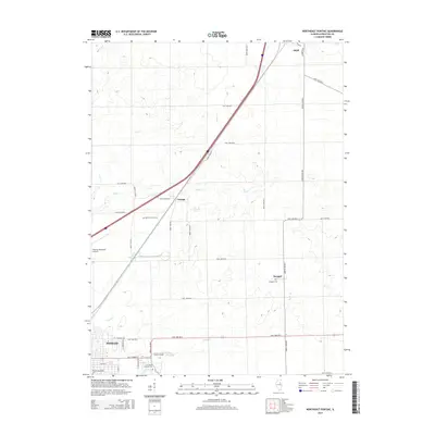
2015 Map of Northeast Pontiac
USGS Topo · Published 2015About this map
The Vermilion River and its various tributaries, including Wolf Cr and Smith Br, define the drainage patterns of this Livingston County landscape. The city of Pontiac anchors the southwestern corner of the quadrangle, where local landmarks like Saint Marys Catholic Cem and the Pontiac Southside Cem provide significant points of interest for genealogists tracing family histories in the region. Transportation routes radiate from the city center, connecting smaller rural communities such as Cayuga and Swygert through a grid of well-defined township roads.
Find a feature on this map
44 named features on this map. Tap any name to fly to it.
Don’t see what you’re looking for? This feature index may not catch every label — zoom into the map to look around manually.
Map Details
Editions of this 2015 Northeast Pontiac Map
This is the sole edition of this map. No revisions or reprints were ever made.
Other maps of this area

1935 · Pontiac
USGS Topo · 1:62,500

1939 · Pontiac
USGS Topo · 1:62,500

1947 · Cullom
USGS Topo · 1:62,500

1948 · Dwight
USGS Topo · 1:62,500

1949 · Cullom
USGS Topo · 1:62,500

1950 · Dwight
USGS Topo · 1:62,500

1958 · Odell
USGS Topo · 1:62,500

1958 · Aurora
USGS Topo · 1:250,000

1958 · Peoria
USGS Topo · 1:250,000

1961 · Aurora
USGS Topo · 1:250,000