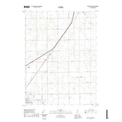
2021 Map of Northeast Pontiac
USGS Topo · Published 2021About this map
Agricultural lands and transport corridors dominate this Livingston County landscape, where the legacy of Old US Hwy 66 and Old Rte 66 runs parallel to modern thoroughfares. The settlement of Cayuga serves as a central landmark, situated near Wolf Cr and the Memorial Park Cem. To the north, the village of Odell is visible, while the southern edge of the map transition into the outskirts of Pontiac, marked by residential street grids and the Saint Marys Cem.
Find a feature on this map
90 named features on this map. Tap any name to fly to it.
Don’t see what you’re looking for? This feature index may not catch every label — zoom into the map to look around manually.
Map Details
Editions of this 2021 Northeast Pontiac Map
This is the sole edition of this map. No revisions or reprints were ever made.
Other maps of this area

1935 · Pontiac
USGS Topo · 1:62,500

1939 · Pontiac
USGS Topo · 1:62,500

1947 · Cullom
USGS Topo · 1:62,500

1948 · Dwight
USGS Topo · 1:62,500

1949 · Cullom
USGS Topo · 1:62,500

1950 · Dwight
USGS Topo · 1:62,500

1958 · Odell
USGS Topo · 1:62,500

1958 · Aurora
USGS Topo · 1:250,000

1958 · Peoria
USGS Topo · 1:250,000

1961 · Aurora
USGS Topo · 1:250,000