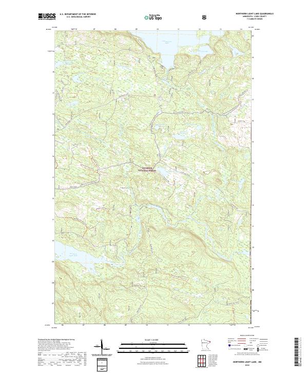
2022 Map of Northern Light Lake
USGS Topo · Published 2022About this map
Superior National Forest encompasses this water-rich expanse of Cook County, where the Brule River and Greenwood River carve through the North Shore hinterland. The landscape is defined by an intricate network of glacial lakes, including the expansive Greenwood Lake in the north and Northern Light Lake to the south. Historically significant routes like the Gunflint to Grand Portage Trl intersect the modern forestry road system, marking long-standing corridors through the timber and wilderness. Local access is maintained through a series of named spurs and trails such as Tofte Cabin Trl and Redcoat Lake Rd, which provide entry to more secluded waters like Sunfish Lake, Redcoat Lake, and Paine Lake. The drainage patterns of the Flute Reed River and Assinika Creek further illustrate the complex hydrology of this sub-boreal environment.
Find a feature on this map
37 named features on this map. Tap any name to fly to it.
Don’t see what you’re looking for? This feature index may not catch every label — zoom into the map to look around manually.
Map Details
Editions of this 2022 Northern Light Lake Map
This is the sole edition of this map. No revisions or reprints were ever made.
Other maps of this area

1954 · Two Harbors
USGS Topo · 1:250,000

1957 · Two Harbors
USGS Topo · 1:250,000

1957 · Quetico
USGS Topo · 1:250,000

1958 · Two Harbors
USGS Topo · 1:250,000

1959 · Northern Light Lake
USGS Topo · 1:24,000

1959 · Pine Mountain
USGS Topo · 1:24,000

1959 · Pine Lake East
USGS Topo · 1:24,000

1959 · Tom Lake
USGS Topo · 1:24,000

1959 · Pine Lake West
USGS Topo · 1:24,000

1959 · Crocodile Lake
USGS Topo · 1:24,000