
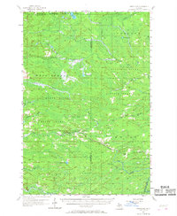
1957 Map of Northland
USGS Topo · Published 1958About this map
The Chicago and North Western railway cuts through the heart of this mid-century landscape, linking the small settlements of Northland and Alfred. This region, split by the Marquette and Dickinson county line, is defined by its extensive public lands, including the Michigamme State Forest and the Escanaba River State Forest. The drainage patterns of the Ford River, Sturgeon River, and the various branches of the Escanaba River dictate the local geography, with low-lying marshlands like Marsh Lake and Lake Thirty-six scattered across the wooded interior.
Find a feature on this map
39 named features on this map. Tap any name to fly to it.
Don’t see what you’re looking for? This feature index may not catch every label — zoom into the map to look around manually.
Map Details
Editions of this 1957 Northland Map
2 editions found
Other maps of this area

1932 · Helena NW
USGS Topo · 1:31,680

1932 · Harvey SW
USGS Topo · 1:31,680

1932 · Helena SW
USGS Topo · 1:31,680

1951 · Helena SW
USGS Topo · 1:31,680

1951 · Helena NW
USGS Topo · 1:31,680

1952 · Ishpeming
USGS Topo · 1:62,500

1952 · Gwinn
USGS Topo · 1:62,500

1952 · Gwinn
USGS Topo · 1:24,000

1954 · Escanaba
USGS Topo · 1:250,000

1955 · Ralph NE
USGS Topo · 1:24,000