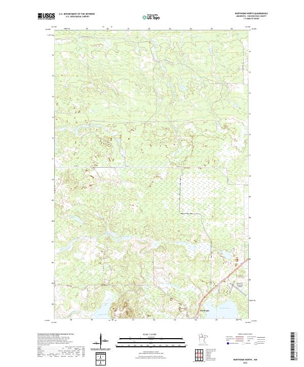
2022 Map of Northome North
USGS Topo · Published 2022About this map
Northome serves as the primary hub in this Koochiching County landscape, positioned at the intersection of critical transit corridors including the Blue Ox State Trail MSRA 029 Trl and roads leading to the Northome Municipal Airport. The area is defined by an intricate network of wetlands and watercourses, most notably the winding path of Armstrong Creek and the headwaters of the S Br Battle River. To the north, the terrain is marked by named logging and utility tracks such as Warren Trl and Flowing Well Trl, which navigate through the dense marshlands of the Big Fork River basin.
Find a feature on this map
27 named features on this map. Tap any name to fly to it.
Don’t see what you’re looking for? This feature index may not catch every label — zoom into the map to look around manually.
Map Details
Editions of this 2022 Northome North Map
This is the sole edition of this map. No revisions or reprints were ever made.
Other maps of this area

1919 · Lundgren
USGS Topo · 1:62,500

1919 · Gemmell
USGS Topo · 1:62,500

1919 · Norden
USGS Topo · 1:62,500

1919 · Bridgie
USGS Topo · 1:62,500

1924 · Bridgie
USGS Topo · 1:62,500

1954 · Bemidji
USGS Topo · 1:250,000

1954 · Roseau
USGS Topo · 1:250,000

1957 · Roseau
USGS Topo · 1:250,000

1957 · Bemidji
USGS Topo · 1:250,000

1958 · Bemidji
USGS Topo · 1:250,000