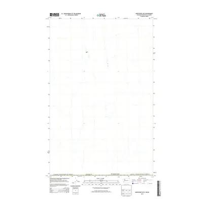
2014 Map of Northport OE N
USGS Topo · Published 2014About this map
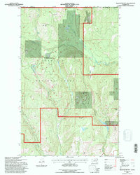
The international frontier defines the character of this northern interior landscape, where Washington meets the Canadian border in the northeastern corner of Stevens Co. This 2014 survey captures a sparsely populated region dominated by a network of seasonal and perennial drainage systems flowing southward from the high country across the Canada / United States of America line. The map serves as a primary reference for the precise alignment of the international boundary and the jurisdictional transition between the United States and British Columbia. While the terrain is densely marked with hydrographic features, the lack of named settlements or major landmarks emphasizes the remote, undisturbed nature of the territory at the time of this digital compilation.
Find a feature on this map
3 named features on this map. Tap any name to fly to it.
Don’t see what you’re looking for? This feature index may not catch every label — zoom into the map to look around manually.
Map Details
Editions of this 2014 Northport OE N Map
This is the sole edition of this map. No revisions or reprints were ever made.
Other maps of this area
1929 · Colville
USGS Topo · 1:125,000
1933 · Colville
USGS Topo · 1:125,000
1952 · Boundary
USGS Topo · 1:24,000

1958 · Sandpoint
USGS Topo · 1:250,000

1963 · Sandpoint
USGS Topo · 1:250,000
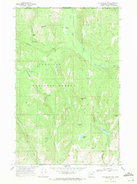
1969 · Belshazzar Mtn
USGS Topo · 1:24,000
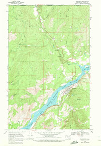
1969 · Northport
USGS Topo · 1:24,000
1984 · Colville
USGS Topo · 1:100,000
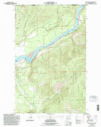
1992 · Boundary
USGS Topo · 1:24,000
1992 · Belshazzar Mtn
USGS Topo · 1:24,000