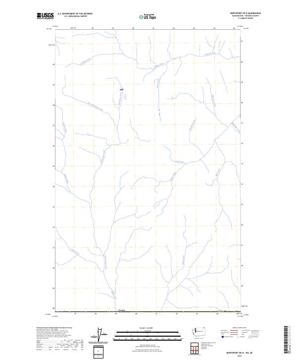
2023 Map of Northport OE N
USGS Topo · Published 2023About this map
Frontier stands at the southern edge of this drainage-heavy landscape in northern Stevens County, where a complex network of tributaries feeds into larger northern systems. The geography is defined by its numerous named watercourses, including the notable Cemetery Creek and the long paths of West Little Sheep Creek and Little Sheep Creek. These streams suggest a land deeply carved by glacial and runoff processes, typical of the high-country watersheds near the international boundary.
Find a feature on this map
14 named features on this map. Tap any name to fly to it.
Don’t see what you’re looking for? This feature index may not catch every label — zoom into the map to look around manually.
Map Details
Editions of this 2023 Northport OE N Map
This is the sole edition of this map. No revisions or reprints were ever made.
Other maps of this area

1929 · Colville
USGS Topo · 1:125,000

1933 · Colville
USGS Topo · 1:125,000

1952 · Boundary
USGS Topo · 1:24,000

1958 · Sandpoint
USGS Topo · 1:250,000

1963 · Sandpoint
USGS Topo · 1:250,000
1969 · Belshazzar Mtn
USGS Topo · 1:24,000
1969 · Northport
USGS Topo · 1:24,000
1984 · Colville
USGS Topo · 1:100,000
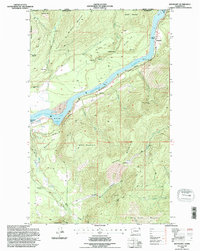
1992 · Boundary
USGS Topo · 1:24,000
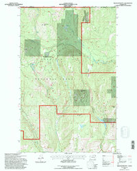
1992 · Belshazzar Mtn
USGS Topo · 1:24,000