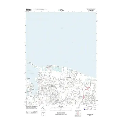
2013 Map of Northport
USGS Topo · Published 2013About this map
Northport Harbor and the expansive shoreline of Long Island Sound dominate this 2013 topographic survey, illustrating the densely settled villages along the northern coast of Suffolk County. The map details a landscape defined by its maritime geography, from the sheltered waters of North Basin and Blanchard Lake to the prominent reach of Asharoken Beach. The interior reveals a complex network of residential development and preservation, highlighted by the presence of Richters Orchards and a remarkable concentration of historical burial grounds. Genealogists and local historians can locate numerous significant sites, including the Old Northport Cem, Northport Rural Cem, and Middleville Road Cem. These features, along with established communities like Vernon Valley and Fort Salonga, provide a clear picture of the region's contemporary character and its deep-rooted local history.
Find a feature on this map
215 named features on this map. Tap any name to fly to it.
Don’t see what you’re looking for? This feature index may not catch every label — zoom into the map to look around manually.
Map Details
Editions of this 2013 Northport Map
This is the sole edition of this map. No revisions or reprints were ever made.
Other maps of this area

1891 · Bridgeport
USGS Topo · 1:62,500

1892 · Norwalk
USGS Topo · 1:62,500

1893 · Bridgeport
USGS Topo · 1:62,500

1893 · Norwalk
USGS Topo · 1:62,500

1901 · Northport
USGS Topo · 1:62,500

1902 · Setauket
USGS Topo · 1:62,500

1903 · Northport
USGS Topo · 1:62,500

1904 · Setauket
USGS Topo · 1:62,500

1904 · Islip
USGS Topo · 1:125,000

1919 · Setauket
USGS Topo · 1:62,500