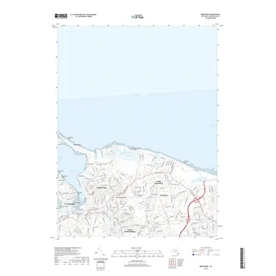
2019 Map of Northport
USGS Topo · Published 2019About this map
Northport and its neighboring villages line the jagged southern shore of Long Island Sound, where the terrain is deeply indented by harbor basins and protected coves. This 2019 survey captures the developed residential character of the Suffolk County coastline, from the narrow spit of Asharoken to the inland neighborhoods of East Northport and Vernon Valley. The landscape is notably dense with commemorative sites, including the Northport Rural Cem and the Old Northport Cem, reflecting a long history of local settlement that predates the modern street grid.
Find a feature on this map
203 named features on this map. Tap any name to fly to it.
Don’t see what you’re looking for? This feature index may not catch every label — zoom into the map to look around manually.
Map Details
Editions of this 2019 Northport Map
This is the sole edition of this map. No revisions or reprints were ever made.
Other maps of this area

1891 · Bridgeport
USGS Topo · 1:62,500

1892 · Norwalk
USGS Topo · 1:62,500

1893 · Bridgeport
USGS Topo · 1:62,500

1893 · Norwalk
USGS Topo · 1:62,500

1901 · Northport
USGS Topo · 1:62,500

1902 · Setauket
USGS Topo · 1:62,500

1903 · Northport
USGS Topo · 1:62,500

1904 · Setauket
USGS Topo · 1:62,500

1904 · Islip
USGS Topo · 1:125,000

1919 · Setauket
USGS Topo · 1:62,500