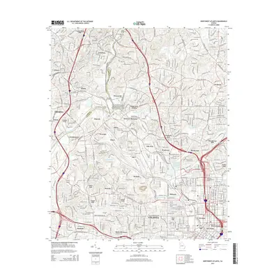
2014 Map of Northwest Atlanta
USGS Topo · Published 2014About this map
Vinings and the Chattahoochee River National Recreation Area define the northern corridor of this 2014 urban landscape, where the Chattahoochee River carves through the transition between Cobb and Fulton counties. The map details a dense network of neighborhoods and industrial sectors, including the rail-heavy corridors of Tilford and Hills Park dominated by the Southern Ry.
Find a feature on this map
64 named features on this map. Tap any name to fly to it.
Don’t see what you’re looking for? This feature index may not catch every label — zoom into the map to look around manually.
Map Details
Editions of this 2014 Northwest Atlanta Map
This is the sole edition of this map. No revisions or reprints were ever made.
Other maps of this area

1888 · Atlanta
USGS Topo · 1:125,000

1890 · Atlanta
USGS Topo · 1:125,000

1891 · Marietta
USGS Topo · 1:125,000

1892 · Atlanta
USGS Topo · 1:125,000

1895 · Atlanta
USGS Topo · 1:125,000

1895 · Marietta
USGS Topo · 1:125,000

1897 · Marietta
USGS Topo · 1:125,000

1901 · Marietta
USGS Topo · 1:125,000

1953 · Atlanta
USGS Topo · 1:250,000

1954 · Conley
USGS Topo · 1:24,000