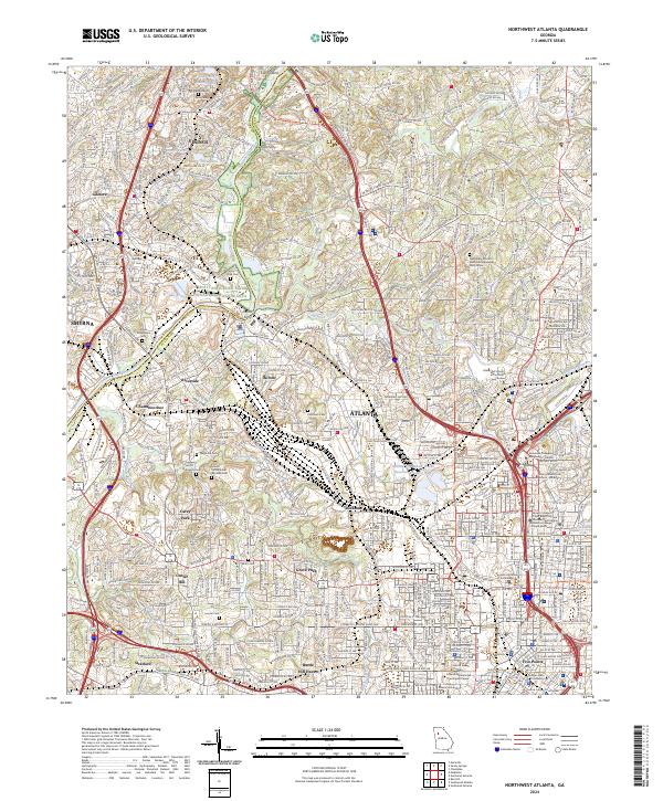
2024 Map of Northwest Atlanta
USGS Topo · Published 2024About this map
The Chattahoochee River National Recreation Area anchors the northwestern reaches of this urban landscape, where the Chattahoochee River carves a natural border between Fulton Co and Cobb Co. The area is defined by a dense network of neighborhoods and historic institutions, from the academic hub of Georgia Institute of Technology to the bustling core of Five Points. Historical transit points like Pace Ferry and Defoor Ferry hint at the river's long-standing role in regional connectivity, while the presence of the CSX railroad corridor illustrates the industrial backbone that shaped local development.
Find a feature on this map
72 named features on this map. Tap any name to fly to it.
Don’t see what you’re looking for? This feature index may not catch every label — zoom into the map to look around manually.
Map Details
Editions of this 2024 Northwest Atlanta Map
This is the sole edition of this map. No revisions or reprints were ever made.
Other maps of this area

1888 · Atlanta
USGS Topo · 1:125,000

1890 · Atlanta
USGS Topo · 1:125,000

1891 · Marietta
USGS Topo · 1:125,000

1892 · Atlanta
USGS Topo · 1:125,000

1895 · Atlanta
USGS Topo · 1:125,000

1895 · Marietta
USGS Topo · 1:125,000

1897 · Marietta
USGS Topo · 1:125,000

1901 · Marietta
USGS Topo · 1:125,000

1953 · Atlanta
USGS Topo · 1:250,000

1954 · Conley
USGS Topo · 1:24,000