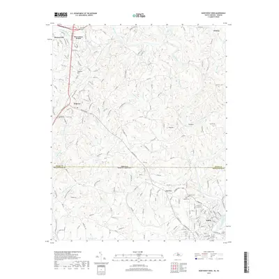
2019 Map of Northwest Eden
USGS Topo · Published 2019About this map
The Smith River winds across the state line between Virginia and North Carolina, anchoring a landscape where the Piedmont's rolling terrain meets the outskirts of Eden. This modern survey documents the suburban and rural transition of Rockingham and Henry Counties, capturing the development of neighborhoods like Marrowbone Heights, Shannon Hills, and Sheffield Hill. The map provides significant detail for local historians, identifying several burial grounds including Overlook Cem and Woodlawn Cem near Fairview.
Find a feature on this map
40 named features on this map. Tap any name to fly to it.
Don’t see what you’re looking for? This feature index may not catch every label — zoom into the map to look around manually.
Map Details
Editions of this 2019 Northwest Eden Map
This is the sole edition of this map. No revisions or reprints were ever made.
Other maps of this area

1924 · Martinsville
USGS Topo · 1:48,000

1924 · Draper
USGS Topo · 1:48,000

1926 · Martinsville
USGS Topo · 1:62,500

1926 · Draper
USGS Topo · 1:62,500

1927 · Martinsville
USGS Topo · 1:62,500

1944 · Martinsville
USGS Topo · 1:62,500

1944 · Draper
USGS Topo · 1:62,500

1953 · Greensboro
USGS Topo · 1:250,000

1954 · Greensboro
USGS Topo · 1:250,000

1962 · Greensboro
USGS Topo · 1:250,000