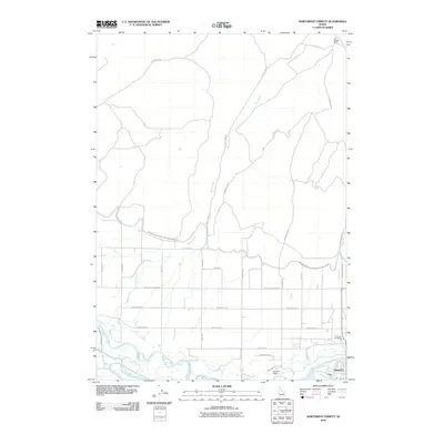
2010 Map of Northwest Emmett
USGS Topo · Published 2010About this map
The Payette River and its intricate network of waterways dominate this portion of Gem County, just north of Emmett. The landscape is a complex grid of agricultural infrastructure, characterized by the Emmett Irrigation District North Side Main Canal and secondary features like the Tunnel Number 7 Wasteway. These water systems support the valley’s rural development, which is organized along named corridors such as Mesa Ave and W Black Canyon Hwy.
Find a feature on this map
30 named features on this map. Tap any name to fly to it.
Don’t see what you’re looking for? This feature index may not catch every label — zoom into the map to look around manually.
Map Details
Editions of this 2010 Northwest Emmett Map
This is the sole edition of this map. No revisions or reprints were ever made.
Other maps of this area

1892 · Boise
USGS Topo · 1:125,000

1894 · Squaw Creek
USGS Topo · 1:125,000

1897 · Boise
USGS Topo · 1:125,000

1897 · Weiser
USGS Topo · 1:125,000

1898 · Nampa
USGS Topo · 1:125,000

1953 · Montour
USGS Topo · 1:62,500

1955 · Baker
USGS Topo · 1:250,000

1955 · Boise
USGS Topo · 1:250,000

1958 · Boise
USGS Topo · 1:250,000

1959 · Baker
USGS Topo · 1:250,000