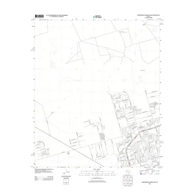
2012 Map of Northwest Midland
USGS Topo · Published 2012About this map
High Sky Girls Ranch and Cowden Ranch anchor this West Texas landscape, showing the transition between traditional ranching lands and the expanding residential footprint of Northwest Midland. The survey reveals a grid of numbered county roads, such as W Co Rd 60 and N Co Rd 1271, which connect isolated water sources like North Windmill and West Windmill to the urbanizing sectors. Residential developments are evident through clusters of street names like Dunblane Dr, Edinburgh Dr, and Glasgow Dr. The area near Avalon further demonstrates this growth, with a concentration of botanical-themed streets including Gladiola, Evergreen, and Dahlia, indicating the planned suburban expansion into the surrounding plains during the early 21st century.
Find a feature on this map
131 named features on this map. Tap any name to fly to it.
Don’t see what you’re looking for? This feature index may not catch every label — zoom into the map to look around manually.
Map Details
Editions of this 2012 Northwest Midland Map
This is the sole edition of this map. No revisions or reprints were ever made.
Other maps of this area

1954 · Hobbs
USGS Topo · 1:250,000

1954 · Pecos
USGS Topo · 1:250,000

1957 · Pecos
USGS Topo · 1:250,000

1958 · Hobbs
USGS Topo · 1:250,000

1964 · Odessa NE
USGS Topo · 1:24,000

1965 · Southeast Midland
USGS Topo · 1:24,000

1965 · Southwest Midland
USGS Topo · 1:24,000

1965 · Northeast Midland
USGS Topo · 1:24,000

1966 · Mabee Ranch
USGS Topo · 1:24,000

1966 · North Curtis Ranch
USGS Topo · 1:24,000