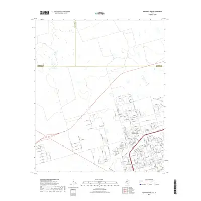
2019 Map of Northwest Midland
USGS Topo · Published 2019About this map
The city of Midland expands toward the northwest in this 2019 survey, where suburban development meets the open West Texas landscape. The map captures a residential grid defined by bird-themed and horse-racing-inspired street names, including Tanforan Ave and Meadowlark Ln. This growth is bounded by major transit corridors like W Loop 250 N and Sunshine Pkwy.
Find a feature on this map
156 named features on this map. Tap any name to fly to it.
Don’t see what you’re looking for? This feature index may not catch every label — zoom into the map to look around manually.
Map Details
Editions of this 2019 Northwest Midland Map
This is the sole edition of this map. No revisions or reprints were ever made.
Other maps of this area

1954 · Hobbs
USGS Topo · 1:250,000

1954 · Pecos
USGS Topo · 1:250,000

1957 · Pecos
USGS Topo · 1:250,000

1958 · Hobbs
USGS Topo · 1:250,000

1964 · Odessa NE
USGS Topo · 1:24,000

1965 · Southeast Midland
USGS Topo · 1:24,000

1965 · Southwest Midland
USGS Topo · 1:24,000

1965 · Northeast Midland
USGS Topo · 1:24,000

1966 · Mabee Ranch
USGS Topo · 1:24,000

1966 · North Curtis Ranch
USGS Topo · 1:24,000