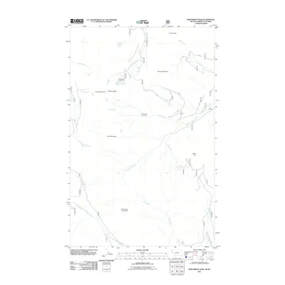
2011 Map of Northwest Peak
USGS Topo · Published 2011About this map
The Purcell Mountains define the landscape of this high-elevation corner of Lincoln County, where the West Fork Yaak River begins its descent through the drainage basins of Northwest Montana. This 2011 survey documents a territory dominated by sharp relief and significant water resources, including Lake Florence and the Hawkins Lakes. The placement of the Hawkins Lake Snow Gage and the Davis Creek Snow Gage indicates the area's importance for monitoring winter snowpack, a critical data point for the downstream river systems. Prominent peaks such as Northwest Peak, Rock Candy Mountain, and Marmot Mountain provide geographical anchors for the network of Forest Service roads, like route 338, that navigate the complex terrain. The map captures a moment in the modern management of these timberlands and watersheds, showing the intersection of natural features like Jungle Creek with the human infrastructure required for conservation and accessibility.
Find a feature on this map
48 named features on this map. Tap any name to fly to it.
Don’t see what you’re looking for? This feature index may not catch every label — zoom into the map to look around manually.
Map Details
Editions of this 2011 Northwest Peak Map
This is the sole edition of this map. No revisions or reprints were ever made.
Other maps of this area

1911 · Priest Lake
USGS Topo · 1:250,000

1913 · Priest Lake
USGS Topo · 1:250,000

1957 · Kalispell
USGS Topo · 1:250,000

1958 · Sandpoint
USGS Topo · 1:250,000

1960 · Kalispell
USGS Topo · 1:250,000

1961 · Kalispell
USGS Topo · 1:250,000

1963 · Sandpoint
USGS Topo · 1:250,000

1963 · Mount Baldy
USGS Topo · 1:24,000

1963 · Northwest Peak
USGS Topo · 1:24,000

1963 · Garver Mountain
USGS Topo · 1:24,000