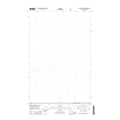
2014 Map of Northwest Peak OE N
USGS Topo · Published 2014About this map
Kootenai National Forest lands dominate this international border landscape, where the United States and Canada meet. The geography is defined by a dense network of mountain drainage systems, most notably the winding course of Hawkins Creek and its tributary, S Hawkins Cr. These waterways flow through a rugged wilderness largely devoid of modern development, reflecting the primitive state of the backcountry in the early twenty-first century.
Find a feature on this map
9 named features on this map. Tap any name to fly to it.
Don’t see what you’re looking for? This feature index may not catch every label — zoom into the map to look around manually.
Map Details
Editions of this 2014 Northwest Peak OE N Map
This is the sole edition of this map. No revisions or reprints were ever made.
Other maps of this area

1911 · Priest Lake
USGS Topo · 1:250,000

1913 · Priest Lake
USGS Topo · 1:250,000

1957 · Kalispell
USGS Topo · 1:250,000

1958 · Sandpoint
USGS Topo · 1:250,000

1960 · Kalispell
USGS Topo · 1:250,000

1961 · Kalispell
USGS Topo · 1:250,000

1963 · Sandpoint
USGS Topo · 1:250,000

1963 · Northwest Peak
USGS Topo · 1:24,000

1963 · Garver Mountain
USGS Topo · 1:24,000
1965 · Canuck Peak
USGS Topo · 1:24,000